With dreams of personal adventures in Patagonian Chile, Dave Watson asked Nacho Aguilera and me to join him paddling in the archipelago south of the Golfo De Penas. Almost a year before we put our paddles in the water, we started talking and planning. Tasks were delegated to be ready to begin our expedition in early January.
In early December, we finally obtained the ferry schedule between Puerto Eden and Yungay. The once-a-week schedule didn't work for us to do our route in the planned direction. At the last minute, we reversed the direction of our route, choosing to paddle south to north against prevailing winds. Now, we had a date to be ready: Jan. 13, 2025.

Initial intended route. Red line marks the ferry, blue marks the paddling route.
The ferry left Caleta Yungay, 453 km south of NOLS Patagonia. This Carretera Austral Ruta 7 area is mostly a dirt road, at times 1-½ lanes wide. A friend could drive us down, but we needed a reliable truck as his had recently developed mechanical troubles. Renting a truck from Coyhaique drastically affected our budget.
 Pit stop along the way to Yungay. Photo: Steve Robitshek
The 10-hour drive and 14-hour ferry finally got us to our starting point: Puerto Eden. After many emails, one final conversation, and an inspection, we finally secured the permission needed to do the expedition.

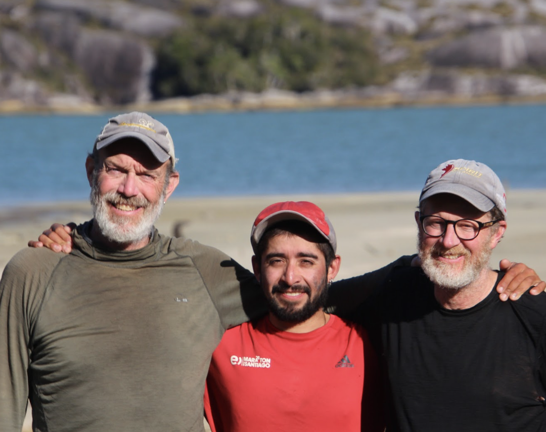
Armada Inspection in Puerto Eden. Photo: Dave Watson
The first paddling leg had us heading further south, as we moved away from Puerto Eden. Patagonia welcomed us; a 20 knot wind building behind us with 2-3-foot seas sped us on our way. After several days of paddling, we reached our southernmost point of 50 degrees south. We kept moving and paddled nine days in a row. Now we moved west, then north into Canal Picton, where the terrain changed from the mountainous Isla Wellington to the lower, sandier islands west of Canal Picton.
 View of a whale skeleton in the shallows with Isla Wellington in the background. Photo: Steve Robitshek
 Steve, Nacho, and Dave in front of open ocean and beaches as seen from Canal Picton.
 Looking North with open ocean to the left and top right to Cabo Boguslawsky ahead. Photo: Steve Robitshek
Continuing north and into the predominant wind directions of N/NW, our pace slowed to a crawl. We got stopped before rounding Cabo Boguslawsky. This was to be one of the crux moves of the expedition. We sat and waited for three nights before it looked like we had a window to round the cape and the next point to the north to get into the protected waters of Canal Ladrillero.

Looking out at Cabo Boguslawsky the morning we attempted to get around it. Photo: Steve Robitshek
We set off into swell breaking in shallow spots outside the bay. As we paddled further into a 3-4 meter (9-12 feet) swell, we started to make our way around the cape. It became more challenging about 10 minutes past the point due to rebounding waves and current. The only thing that really could make it worse was the squall coming our way in the distance. That squall hit us about 30 minutes into our move, stopping us in our tracks. The wind was about 30 knots, pushing us backwards. A quick conversation followed: “Is this smart?”, “NO!”, “Turn around!"
We managed to turn around in what had become an almost breaking swell. Back paddling to prevent us from getting surfed and pushed by the wind, we made it back into protection and regrouped. Whew! The next decision was easy yet a bit defeating: portage! With a little looking around, we found mostly open terrain and an old trail. It took us less than two hours to get everything to the other side.

Nacho pulling his kayak through the tundra. Photo: Dave Watson
Camping became challenging now with lots of very small bouldery beaches with steep land behind them. This made for creative tent sites. 
One of many of our “beaches.” Dave Watson
 Creative padding to sleep under the tent fly at the same “beach. Photo: Steve Robitshek
We began pushing hard, and Patagonia pushed back with headwinds and current. We needed to change our situation. Discussions were had about alternative plans: forget Isla Wager, go back to Puerto Eden, go directly to Tortel. We decided to use some smaller channels which, while increasing the distance, kept us more protected and set us up to get to Islas Byron and Wager, our goal. We spent a week working our way north. Then, after one more day being pounded by high winds, rain, and a foot-high storm surge that had us trapped under our tarp for three hours, we managed to get to Isla Byron.
 The tide should have come up to the base of the pole. Instead, we hunkered in half of the tarp. Photo: Dave Watson
View to the beach where the HMS Wager washed ashore from our camp of Isla Byron. Photo: Steve Robitshek
Now, only 2.5 miles separated us from our goal: Isla Wager. The next day was forecasted to be windy, so we sat in our protected spot and watched waves explode off the small islands and rocks protecting our destination. We got up the second day, and it was perfect: “taza de leche” (calm as a glass of milk).
 We landed at a beautiful beach, taking a moment to remember the hardships the HMS Wager and its crew endured to get here and the ones that the few who survived experienced. Photo: Steve Robitshek
After spending 2+ hours on Isla Wager, we explored the beach, finding a beam possibly from the HMS Wager submerged in a freshwater stream. Then, in perfect conditions, we paddled around the north and east sides of Isla Wager, being led by pods of dolphins and lots of sea birds.
 Steve paddling between some barrier islands and Isla Wager. Photo: Dave Watson
The day continued calm enough to paddle easily, and we found ourselves at another decision point, a crossing spot of Canal Messier. Strong winds were forecast for the next couple of days. With a sea state of a 1.5 - 2 meter (4 - 6 foot) southerly swell, no wind, a 2-knot northerly current, and squalls to the south, known camping in a protected bay, it seemed like the best time to cross to Isla Sombrero, although it was 6:30 pm. After paddling twenty-six miles from Isla Byron, we arrived at Isla Sombrero at 8:30 pm, tired and stoked that another big crux was behind us. We had to stay on Isla Sombrero for two days before we were able to leave.

Dave checking conditions as another squall passed over Isla Sombrero. Photo: Steve Robitshek
With a swell of 2 - 2.5 meters (6 - 8 feet) and no wind, it was a spectacular paddle back into protection and a campsite that Dave had previously used on NOLS Expeditions. After reaching the following campsite, a NOLS semester course came around the point.
 Suddenly bright colors appeared on the water as a NOLS Patagonia Semester course came around the point to share the beach with us. Photo: Steve Robitshek
We welcomed them onto the beach and caught up with the instructors who we mostly knew and had worked with. They spent the night with us and in the morning we went our separate ways. The three of us finished our route at the Aerodromo de Tortel a few days later: proud, happy, healthy, relieved, tired… where we were picked up for the long drive back to NOLS Patagonia.
We are very grateful for the logistical support from NOLS Patagonia, the financial support from the Rothberg-Birdwhistell Exploration Fund, additional sponsorship discounts from several companies, as well as the understanding and support of our families and friends. Special thanks to Phil Watson (who provided us with daily weather forecasts), Ian Farmer, Francisco “Pancho” Vio Giacaman, Tim Druett, Lissen Low Watson, Jessie Knops, and Seba Aguilera. This expedition would not have been possible without all the support.
The Rothberg-Birdwhistell Expedition Fund was established by the Rothberg-Birdwhistell family to support NOLS Instructors as they design and execute personal wilderness expeditions.