“This place is full of life on life on life!”
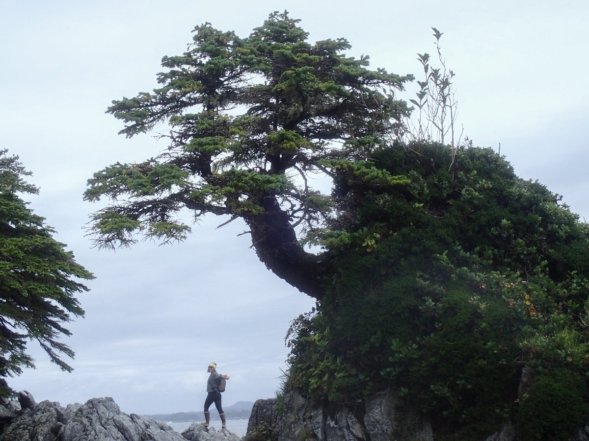
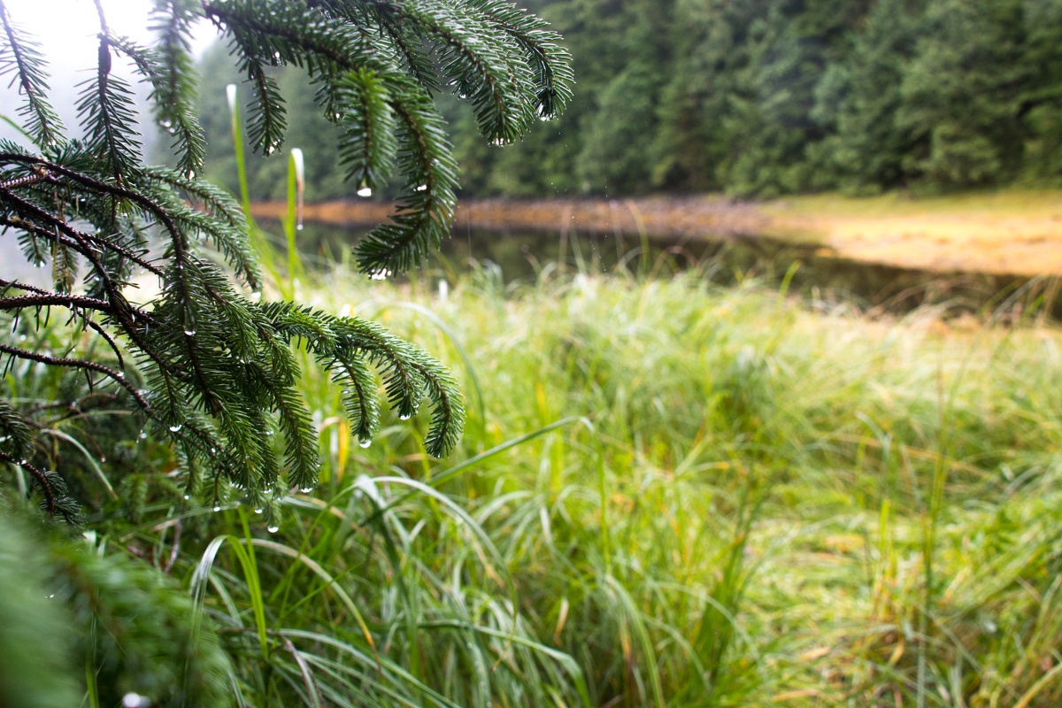
Julie’s assessment of a toppled sitka spruce couldn't have been more accurate. This giant nurse log spanned the tides, it housed a slug oozing over deer ferns at one end and a crab picking over some barnacles at the other. Julie, my partner and fellow NOLS field instructor, and I were in the heart of the Great Bear Rainforest. Five days into a 21-day sea kayak expedition on the midcoast of British Columbia, we were finding joy in exploring the wilderness despite constant rain and long days in our kayaks. The rich biodiversity of the marine and forest ecosystems here is unique and recently received recognition and some protection from the Canadian government.
To frame this expedition we set goals: to improve our sea kayaking skills, and to deepen our environmental studies knowledge and connection to the British Columbia coast. At NOLS I work in the mountains and desert—dry, sunny days at the crag are my comfort zone. I began this trip as a relatively new paddler looking to build my seamanship. Julie, a more seasoned sea kayaker, was drawn to this trip by her love for the B.C. coast, a region she says keeps calling her back.
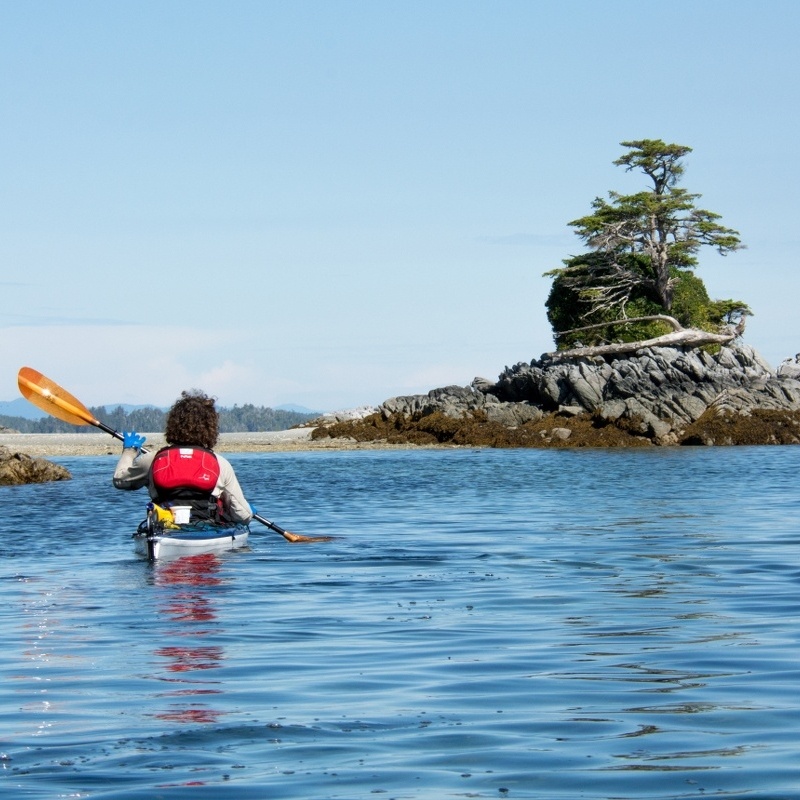
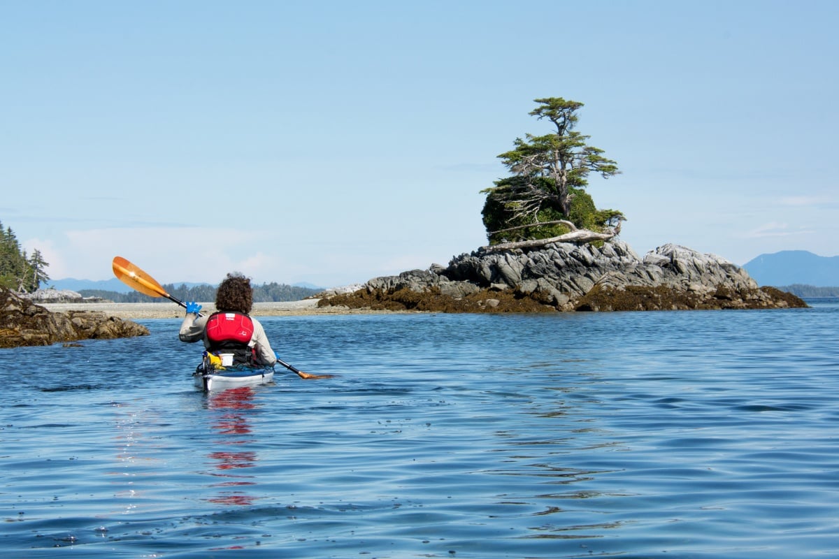
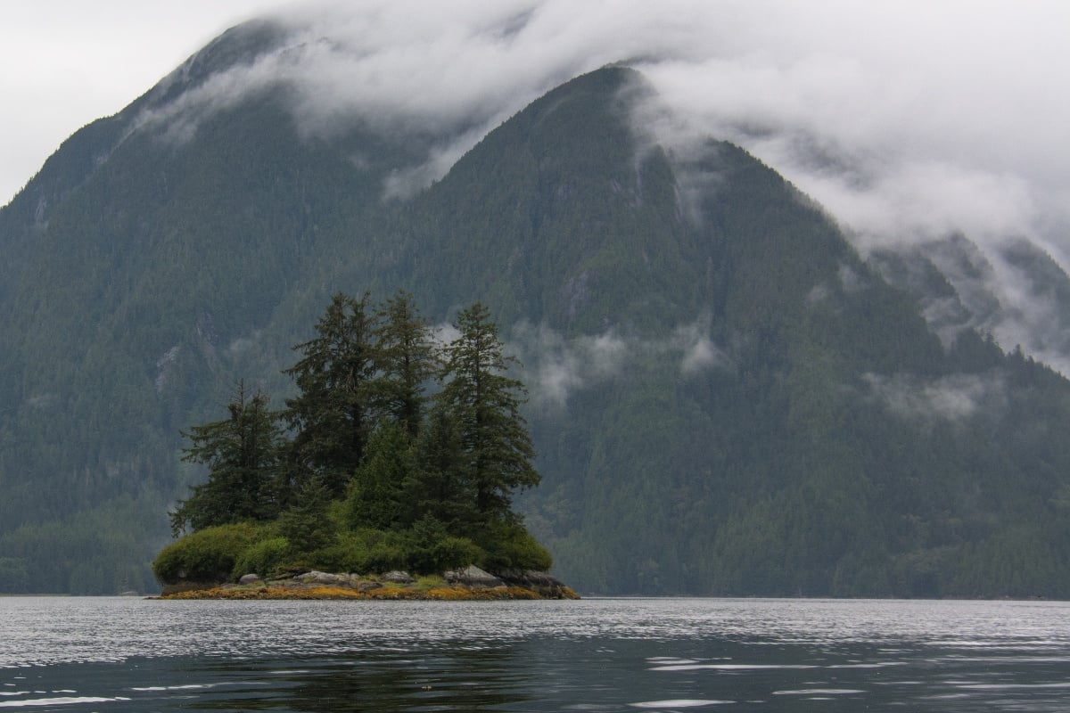
To reach our put-in we took the B.C. ferry from Port Hardy to the town of Bella Bella, home to the Heiltsuk Nation. We circumnavigated Cunningham Island for the first leg of our trip. This route offered paddling protected from the swells and winds of the open coast.
After packing the boats for the first time (with a little anxiety about how to fit all our gear) and paddling away from town we learned our first lesson about finding campsites in the inlets: They are few and hard to find. The fast-growing resilience of the forest and minimal wave action combine to create densely vegetated shores more reminiscent of lakes than the sea. We found campsites that either had been hacked out of the brush by previous campers or were perched on small rock outcrops.
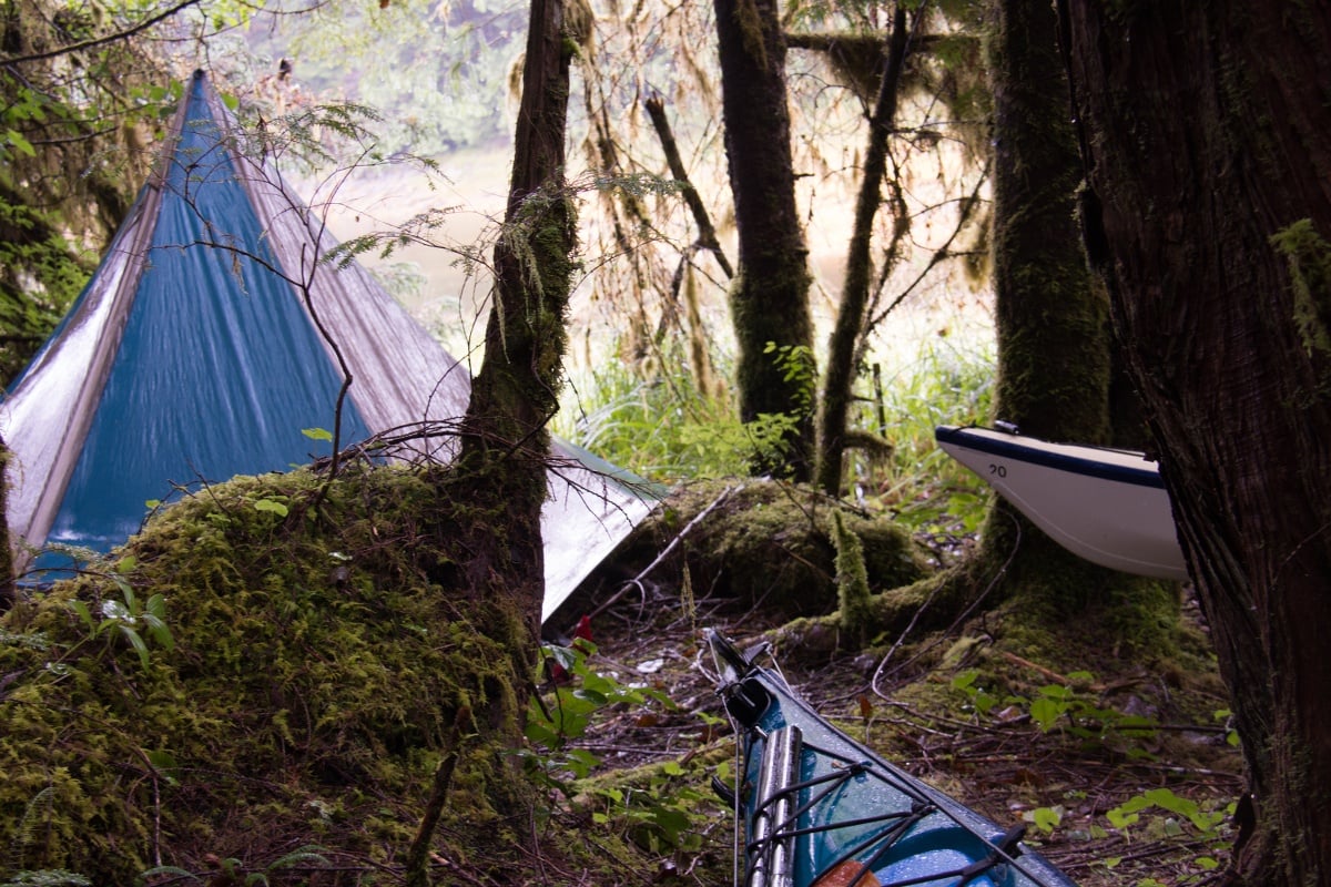
We expected some rain, and rain we got. Bella Bella receives an annual average rainfall of about 2700mm (105 inches). Non-stop rain and strong southerly winds characterized the first week of our trip.
As we spent time in these conditions we honed our systems. I learned simple lessons the hard way, such as “Never get water over the top of your rubber boot.” We found ways to explore in comfort once properly waterproofed. Although I’ve received more flak for it than any other piece of gear, I bring my “sunbrella” on almost every trip I take.

As we rounded Cunningham Island and approached Bella Bella again we had an important decision to make. Either we could continue with our original plan to kayak all the way back to Port Hardy or we could change our route and do a loop ending at Bella Bella. We thought back to our goals for the expedition and gathered information from locals in Bella Bella, who helped us interpret the weather we had been seeing. We recognized that returning to Port Hardy would mean prioritizing making distance against the prevailing weather. This would limit our opportunities to explore the outer coast, the rainforest, and the intertidal zone. With upcoming storms in the forecast this restriction on our time was too high a cost for two avid naturalists. We chose to change our route to a loop and focus on refining our skills by playing with more exposure, complex terrain and bigger sea conditions.
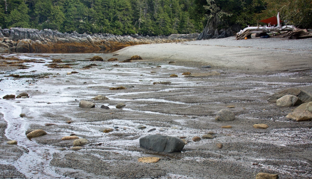
Over the next several days we worked our way toward the outer islands and made time to indulge in other curiosities. A math nerd at heart, I became mildly obsessed with reading the tide tables in an effort to extrapolate the forces affecting their heights. With a swing between the two high and low tides each day of 3 to 5 m (10 to 16 ft) the rhythm of the tides became the rhythm of our days. Sometimes we played simple games, such as placing a stick on the beach marking our best guess at the height of the next tide. Our understanding of the tides influenced our decisions on risk management (our ability to predict exposure of coastline), timing of our day (to take advantage of currents) and selecting campsites.
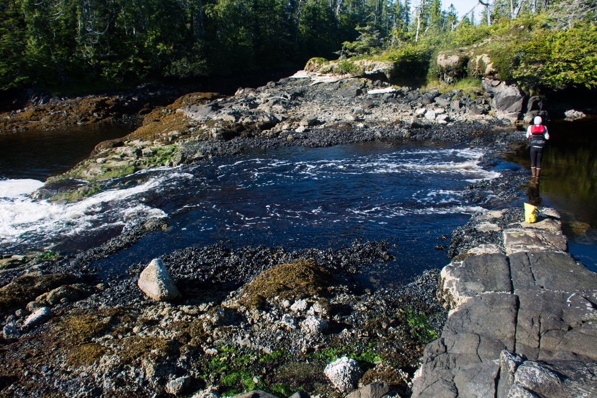
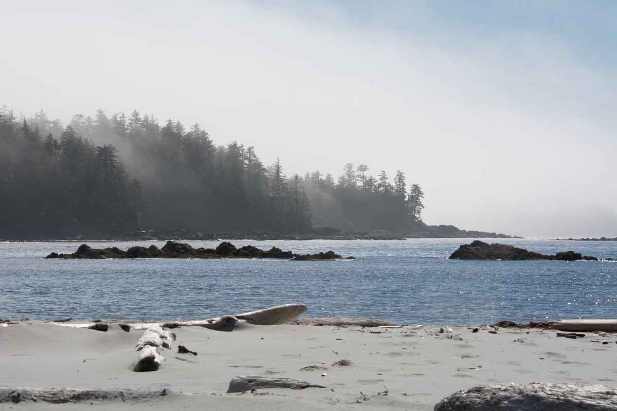
One spectacular tidal phenomenon we observed were tidal rapids at the mouths of lagoons. These bodies of water are connected to the ocean by narrow openings that act like rivers, and they reverse their direction up to four times a day.
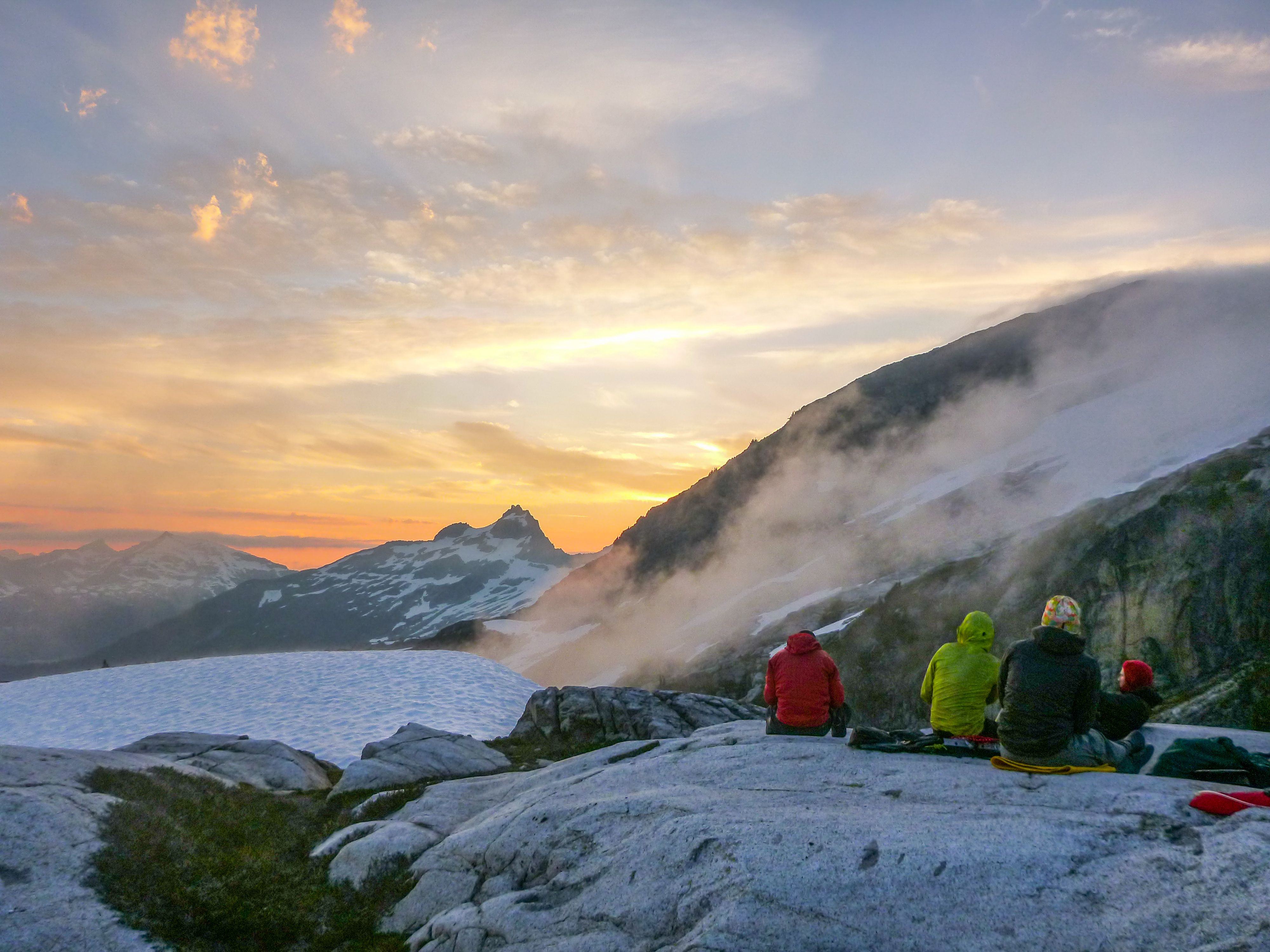
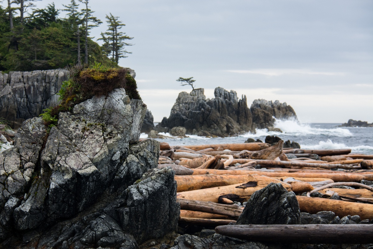
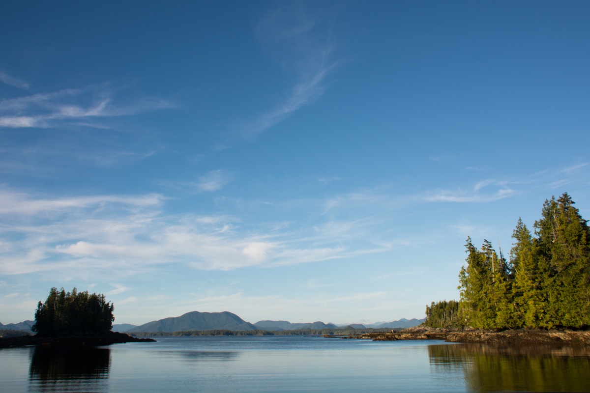
As we reached the most exposed part of our route the weather conditions improved. We were able to make a significant crossing to and from Goose Island. This was our most committed paddling and allowed us to visit a wide open West Coast beach.
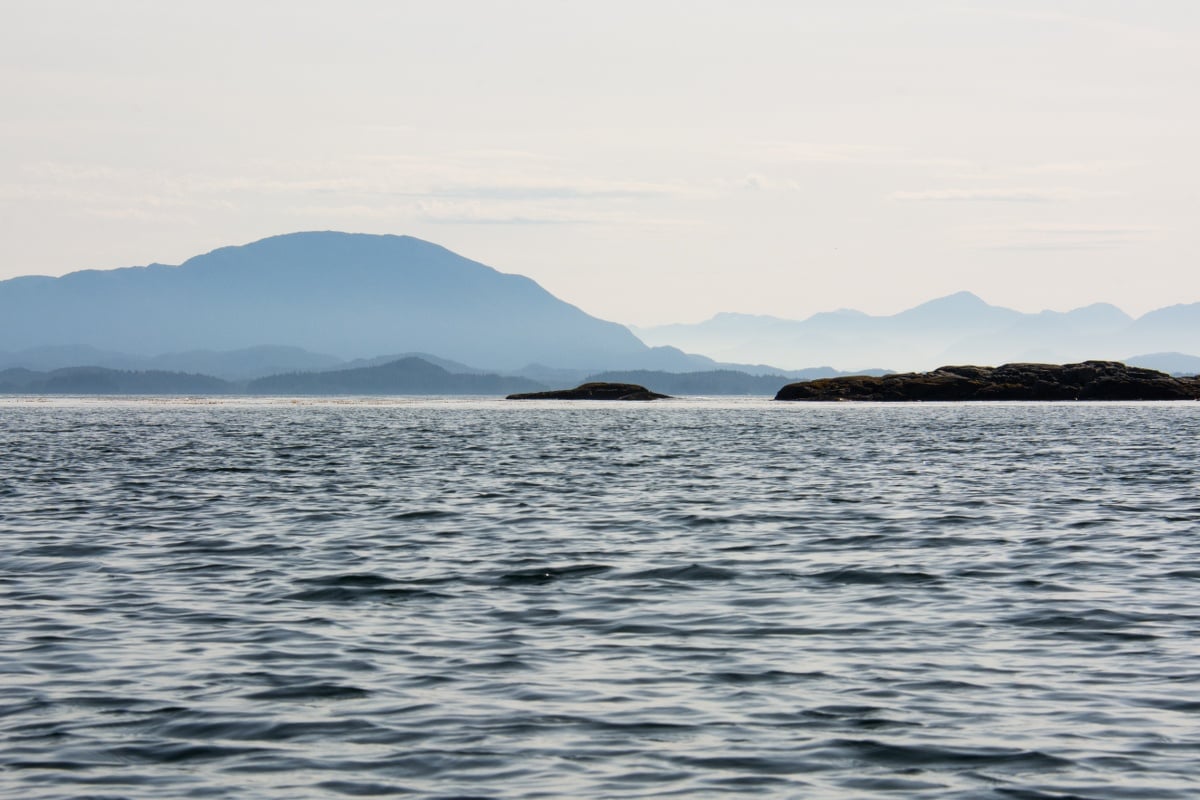
Generally, the weather continued to improve with high pressure, light winds and sunny days.
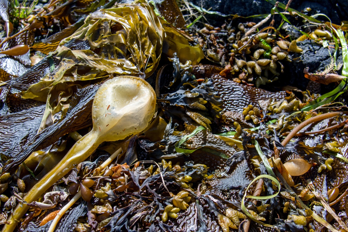
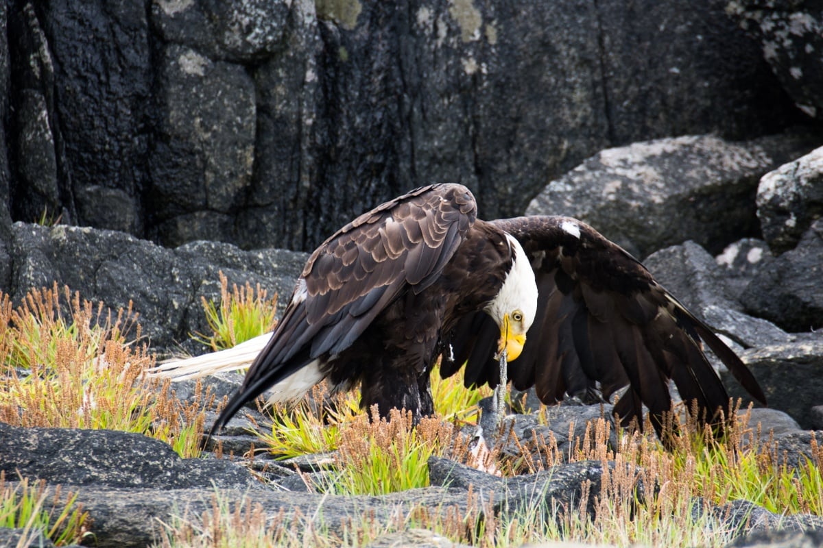
On our return from Goose Island we stopped to explore more marine life and hunker for a “brief” one-day wind and heavy rain storm. Some of the more iconic otherworldly invertebrates we saw were chitins, seastars, anemones, and urchins.
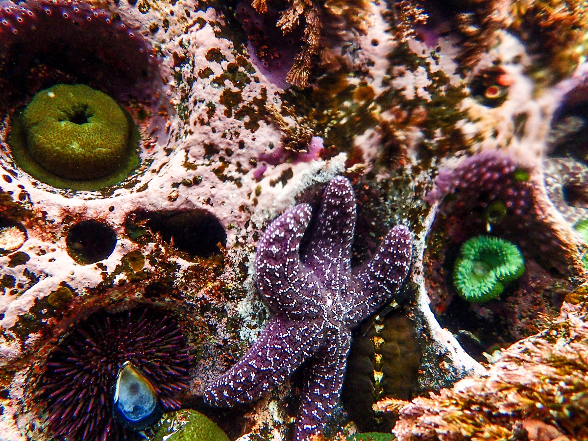
As two instructors who value the environmental studies component we teach on every NOLS course, it was both a personal and professional pleasure to see amazing wildlife and practice our plant and fungi ID in a rich environment.
The ferry back to Port Hardy felt like a cruise ship as we sat on the back deck to take in the sunset. We maintained good expedition behavior by letting the breeze blow our unshowered trip scent away from other passengers.
Between calling out humpbacks, sea otters and great blue herons we discussed the terrain, casually dreaming where the best spot would be to build a cabin someday.
Ready For Your Own Sea Kayaking Adventure?
Embark on a once-in-a-lifetime adventure with NOLS Sea Kayaking Expeditions as you paddle through the stunning landscapes of the Great Bear Rainforest. Immerse yourself in nature's wonders, encounter majestic wildlife, and grow as a kayaker and environmental steward. Experience the magic of this pristine ecosystem - secure your place now!
Go sea kayaking in the Pacific Northwest with NOLS.
Note: Thanks for all the support we received in pulling off this trip! Particular thanks to the Instructor Development Fund, NOLS Pacific Northwest, and the culture of our workplace that sees personal expeditions as worthy goals. Also, thank you to the Heiltsuk Nation, upon whose traditional lands we traveled.