In early June 2023, our small team of three flew into Denali Base Camp on the Kahiltna Glacier. Base camp was busy: many teams were flying in, and many others were flying out as pilots capitalized on the rare sunny day to move mountaineers onto and off the glacier. People come from all over the world to climb in Denali National Park, and almost everyone at base camp shares a similar objective: to try to make it to the top of North America’s highest peak or one of its neighbors. Our team was different. Instead of a summit bid, we were there for science.
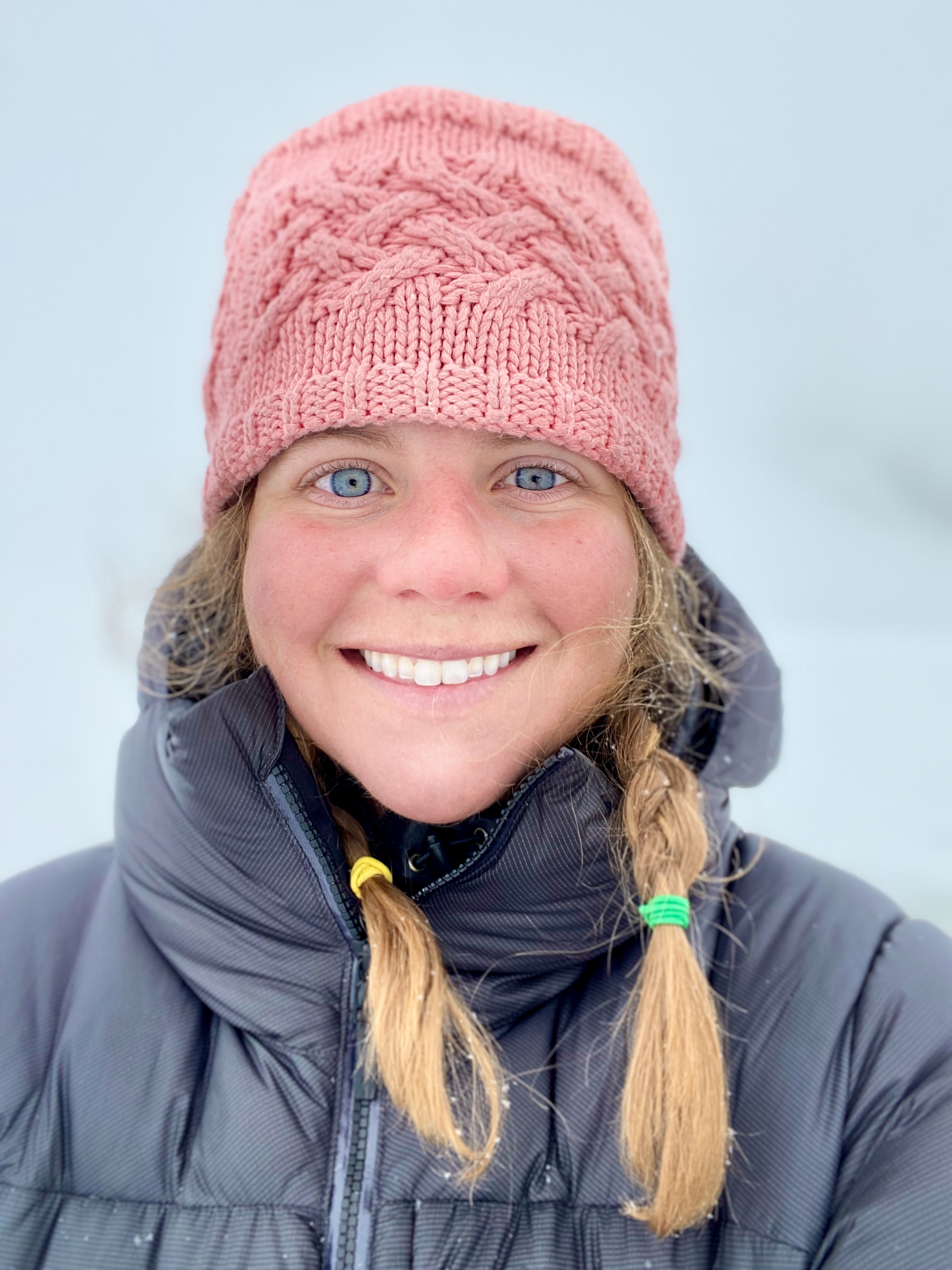
 2023 Denali Science Team: Claire Bicknell (field assistant - NOLS Alumni and undergraduate student at Alaska Pacific University; Emma Erwin (expedition lead - NOLS instructor and graduate student at UMaine); Keegan Bellamy (field assistant - graduate student at UMaine)
Our 2023 Denali Science expedition aimed to complete a new radar survey on the Begguya (Mt. Hunter) summit plateau. Why? To see how old the ice is.
Ten years prior, a ~210-meter ice core (the “Denali Ice core”) was drilled from the summit plateau of Begguya. Geochemical analyses of the upper portion of the Denali Ice core have produced a high-resolution hydroclimate history of the greater Alaska region for the last 1200 years – a record that has helped assess climate change in the context of global warming. A longer climate record, reaching back at least 10,000 years, could be obtained by accurately dating the bottom-most portion of the ice core. However, the complexities of ice flow dynamics make this task particularly challenging. Because ice is greatly compressed near the bedrock, it is difficult to determine the age at the bottom-most portion of the ice core. A slew of different scientists are working to provide age constraints on the bottom-most portion of the ice core using different chemical and physical techniques. Our science survey would contribute to this effort by using a new method of radar surveys to image the ice near the bedrock to see if it is stratigraphically continuous or discontinuous.
 The Begguya (Mt. Hunter) summit plateau. This ~13,000 ft plateau is the location of the 2013 Denali Ice Core and the primary field site of this science expedition.
Still, Begguya is a challenging mountaineering objective that only a few people attempt each year, and trying to haul our radar equipment up there was out of the question. Instead, we coordinated with the National Park Service to arrange a helicopter flight to our field site. The Begguya plateau sits at ~13,000 ft and poses a significant risk for altitude illness with rapid ascent. To minimize this risk, we first acclimatized on Denali by taking a lap up the Kahiltna. We took advantage of this acclimation climb as an opportunity to supplement our primary science objective with additional radar surveys between Base Camp (~7,000 ft) and Camp II (~11,000 ft) on Denali’s West Buttress route.
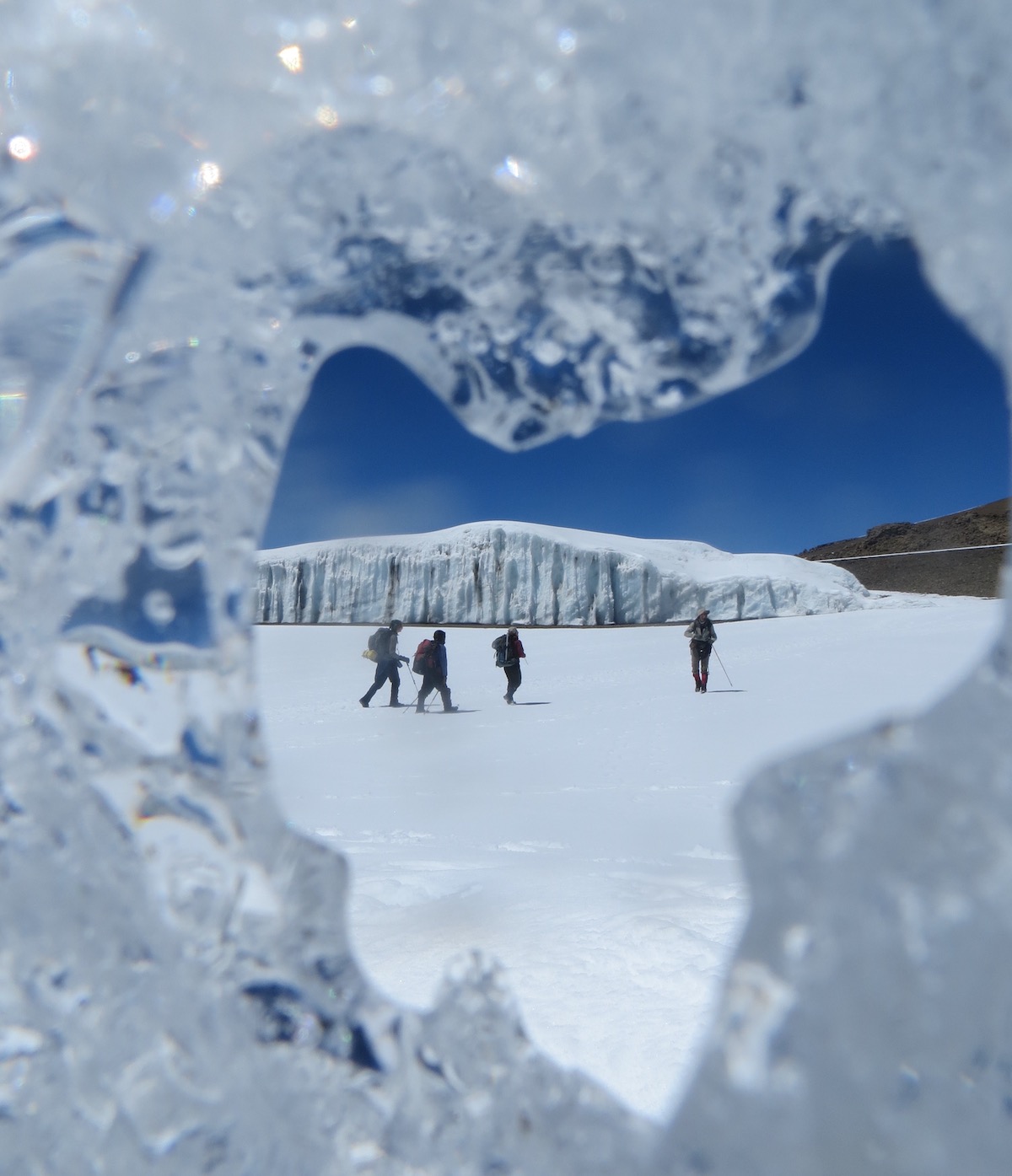
 Moving up the Kahiltna on the West Buttress Route of Denali under the midnight sun.
When we left base camp, we looked like any other climbing team: traveling on rope teams, pulling sleds full of supplies, moving at night to minimize the risk of crevasse falls. Unlike any other team, one of our sleds was filled with a radar unit, actively measuring the ice below us as we traveled up the glacier.
 Emma and Keegan review radar data collected on the Kahiltna.
Visibility quickly deteriorated after a few hours of beautiful clear skies under the midnight sun. We spent most of the next month in Denali National Park in whiteout conditions.
 Moving up to Camp 2 (11,000 ft) on Denali in low visibility.
We spent almost two weeks hunkering at 11,000 ft on the Kahiltna, waiting for a weather window to ski down to base camp and catch a helicopter ride up to the top of Begguya. Eventually, it came, and we made the move.
 2023 Science camp on the Begguya summit plateau at 13,000 ft during a rare moment of clear skies.
 Claire poses with the radar system on Begguya. Collecting this data set was the “peak” of our expedition!
The majority of our time on Begguya was spent in a whiteout, hunkered in the tent, waiting for winds to subside, visibility to improve, or shoveling snow to maintain camp and prevent tent burial. Nevertheless, we managed to find small windows to fit our science in and eventually to fly off the plateau safely.
 Maintaining camp on the Begguya summit plateau required almost constant maintenance.
In total, we spent 26 days on the ice in Denali National Park. The majority of this time involved weathering storms at high altitude. Only a handful of days included enough breaks in the inclement weather to accomplish concentrated scientific work; the rest were spent hunkering, shoveling, and maintaining camp amidst the big mountain storms. Despite the rugged conditions, we were able to accomplish both planned radar surveys: one on the Kahiltna glacier and another on the Begguya plateau. Our team worked well together to complete our science objectives, but more importantly, we stayed safe and healthy and had fun in the mountains.
 The team enjoyed some sunshine at the 11k camp on Denali.
Highlights included eating cookie dough together at midnight, 2:00 a.m., and 4:00 a.m., shoveling rotations during big storms, a nightly podcast hour, and dancing to stay warm. Patience, adaptability, hard work, and tolerance for adversity and uncertainty contributed to the success of this expedition. We came away from this trip with exciting new radar data and an enduring appreciation for clear weather days and each other.
Acknowledgements and More
This expedition would not have been possible without the support of the Rothberg-Birdwhistell Exploration Fund or the NOLS community. Additional funding for this expedition was provided by the Cold Regions Research and Engineering Laboratory, The University of Washington, the American Alpine Club, and the University of Maine’s Dan and Betty Churchill Exploration Fund.
To learn more about the Denali ice core and the science behind this expedition, check out: